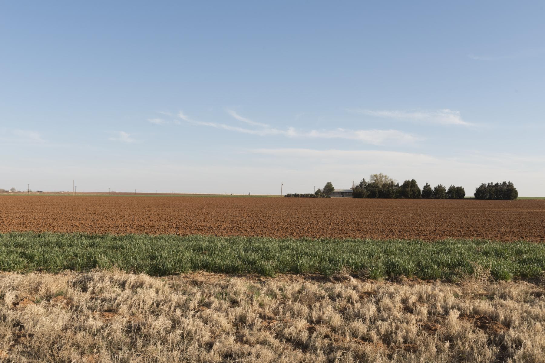
DAWSON COUNTY / TEXAS / 1903—PRESENT
THE HORIZON REMEMBERS
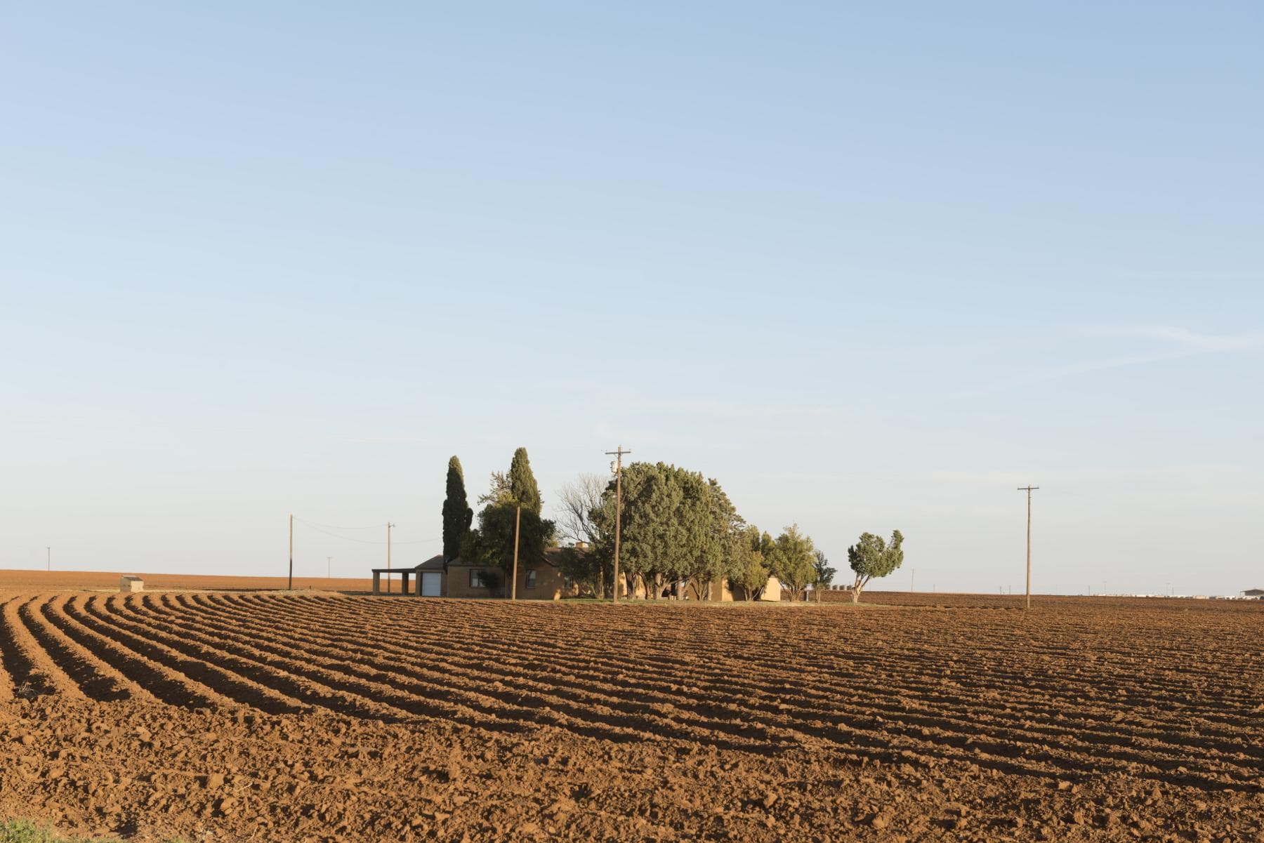
Before the Grid
Before there was a city, there was land, movement, weather, and distance.
This country was not empty. The wider South Plains carried long histories of Indigenous travel, exchange, hunting, and conflict. Comanche bands later moved across a territory without the fixed boundaries that maps would impose. The surviving record is uneven, and more Dawson County–specific research is still required.
A railway survey party reported thousands of buffalo in 1875. Ranchers followed the grass; by the middle of the 1880s, four ranches occupied most of what became Dawson County. Fence, survey, and private claim changed an older geography of movement.[2][4][3]
A Town Is Drawn
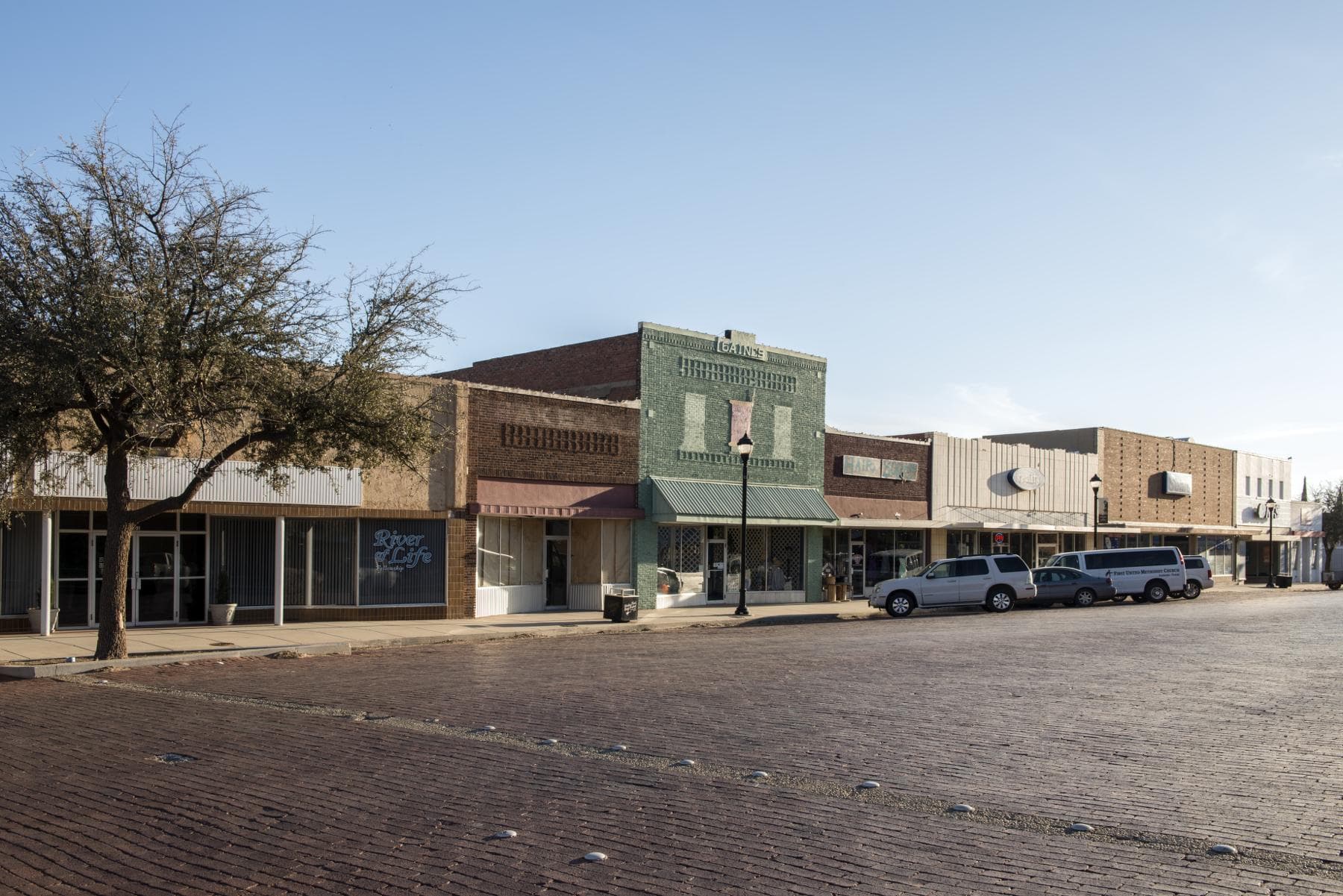
A town was measured into the tableland.
Frank Connor, J. J. Lindsey, J. F. Barron, and others platted Lamesa in July 1903. A. L. Wasson proposed a name drawn from the flat, tabletop character of the land: La Mesa or Lamesa. The single-word form prevailed.
On March 20, 1905, Lamesa defeated nearby Stemmons in the county-seat election by five votes. Sources describe residents and businesses moving toward the new county seat soon afterward; the exact texture of that move deserves comparison with local records before it is dramatized.[1][2][5]
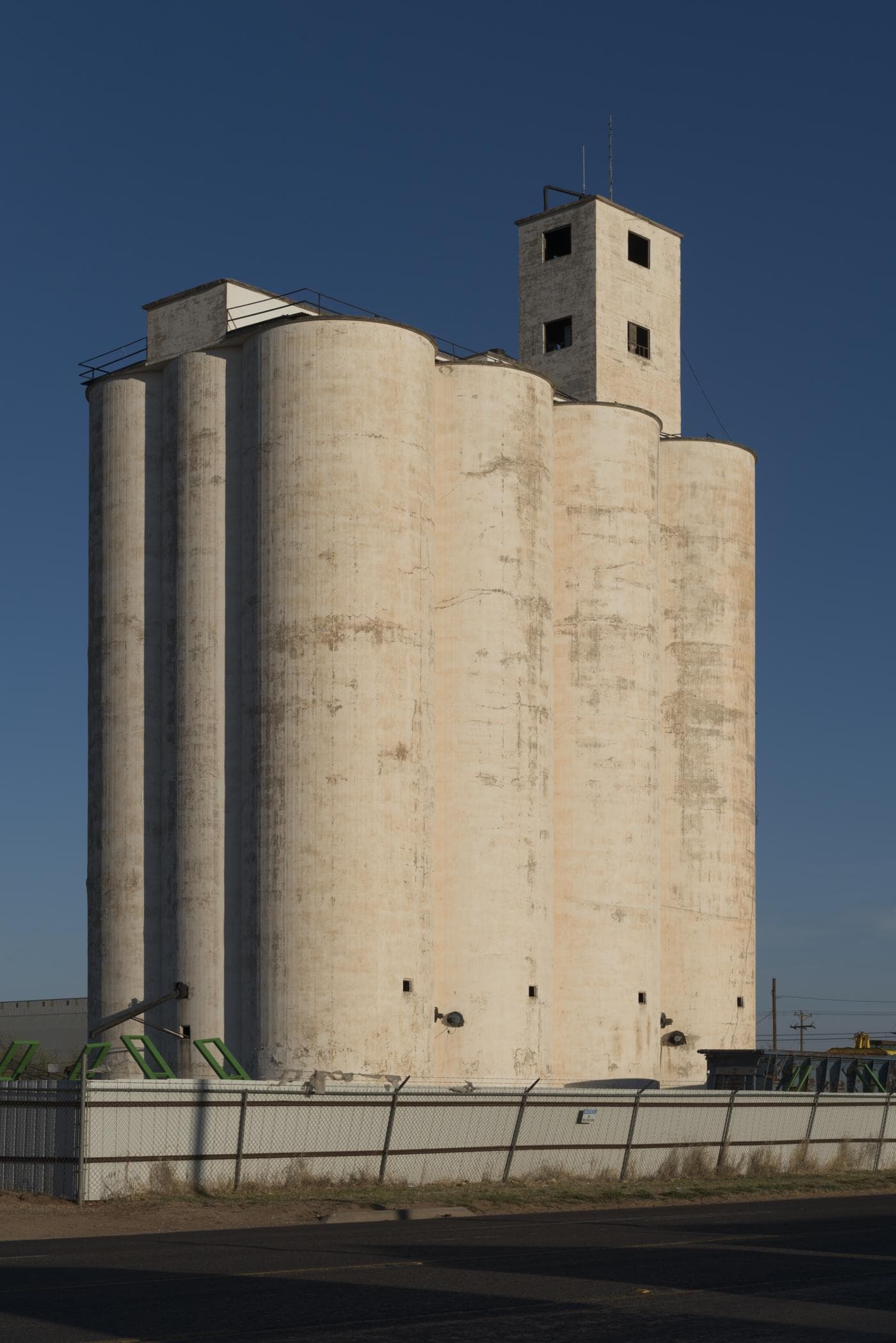
The line carries forward.
Rail, cotton, hard years, war, architecture, culture, work, and living memory are the next researched chapters.